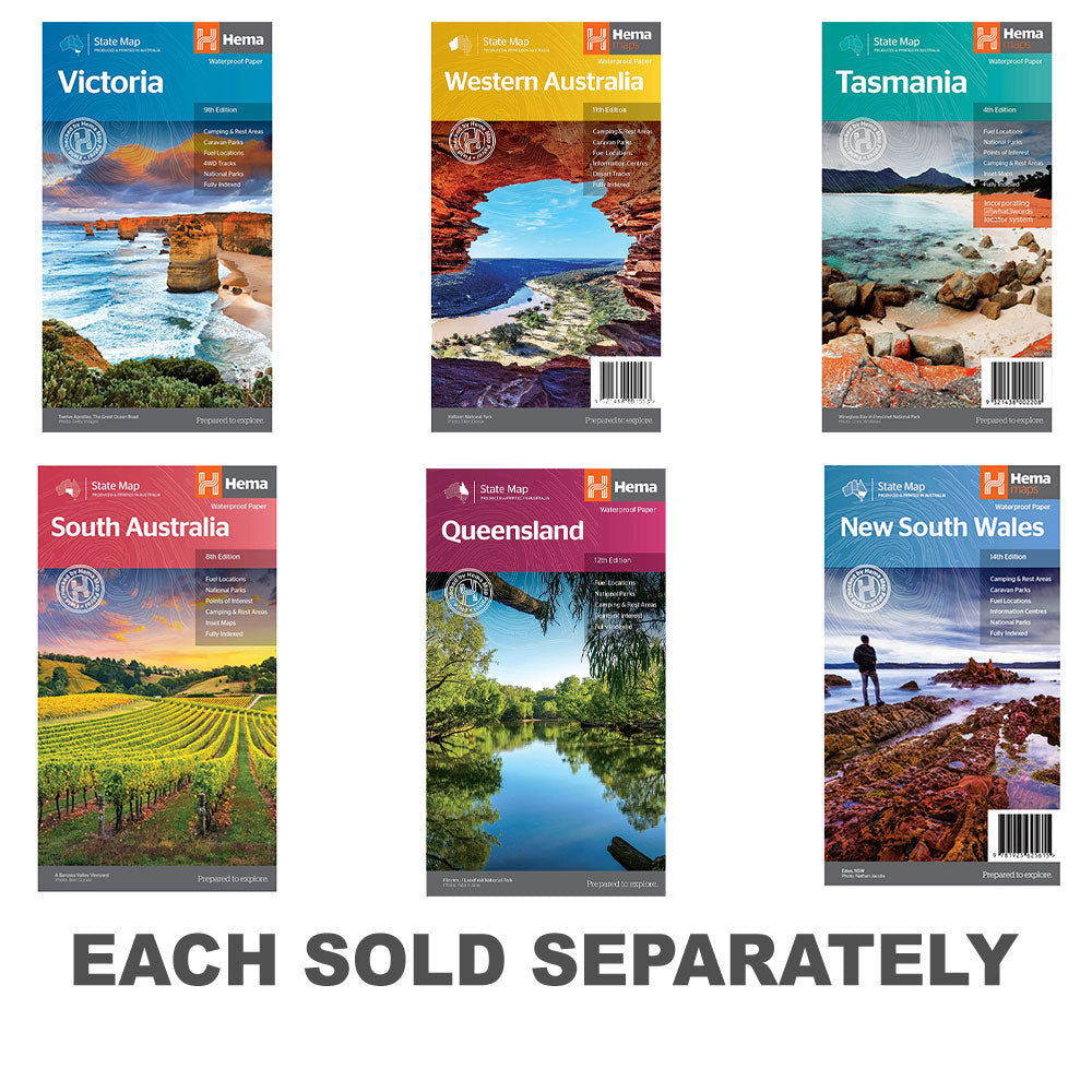


Description
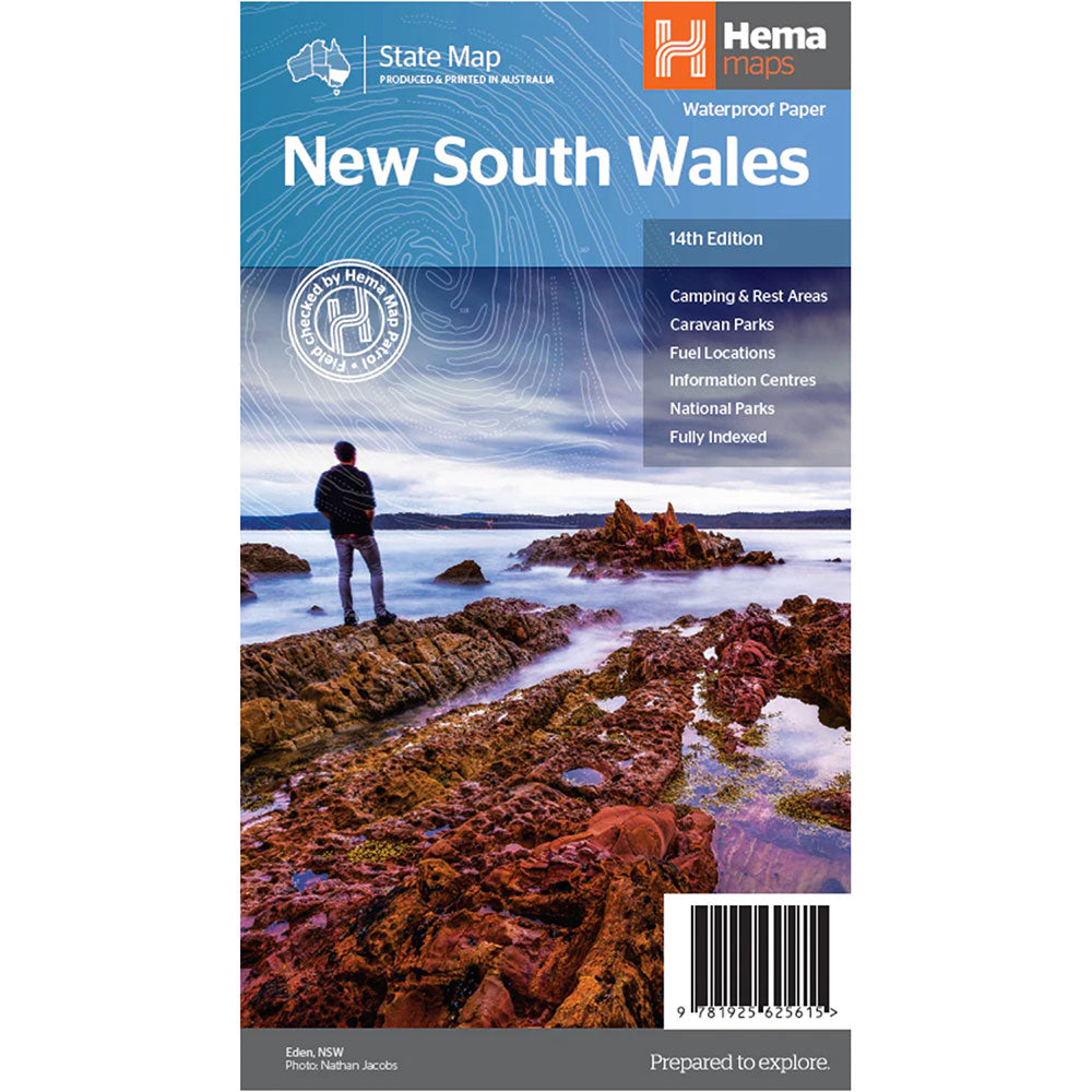
The fourth edition of Hema's Tasmania State Map features Hema's distinctive and informative maps fully, all of which have been field checked by Hema's Map Patrol to ensure the best possible accuracy with the latest mapping data.
A fully indexed state map of Tasmania (TAS) at a scale of 1:500,000. Marked on the mapping are national parks, fuel locations as well as camping and rest areas.
It is Australia's smallest state in terms of both size and population, yet is a major tourist attraction due to the diverse and spectacular scenery, unspoilt wilderness, fantastic food and wine and heritage and cultural sites.
Fully updated and indexed primary Map of Tasmania at a scale of 1:500,000 and showing national parks, fuel locations as well as campsites and caravan parks, Detailed maps of the Zeehan and Region (including Lake St Clair and Franklin-Gordon Rivers National Park), Freycinet National Park, Southwest National Park and Hobart & Region
Product Specifications
- Language: English
- Published: 15th February 2021
- Publisher: Hema Maps Australia
| Length : 24,5 cm | Width : 13,5 cm |
| Height : 1,5 cm |

Treat yourself to incredible savings!
Products on Sale - Shop Now!
Free Global Shipping > $199
Excludes bulky goods or orders.

Easy Returns
Free 365 Day Warranty

Shop & Pay in your currency
Now shipping to 40+ countries

100,000+ Products
Amazing Brands. All Gift Occasions.