


Payment & Security
Maksutietosi käsitellään turvallisesti. Emme tallenna luottokorttitietoja, emmekä ole pääsyä luottokorttitietoihisi.
Don’t Miss These Deals!


Kuvaus
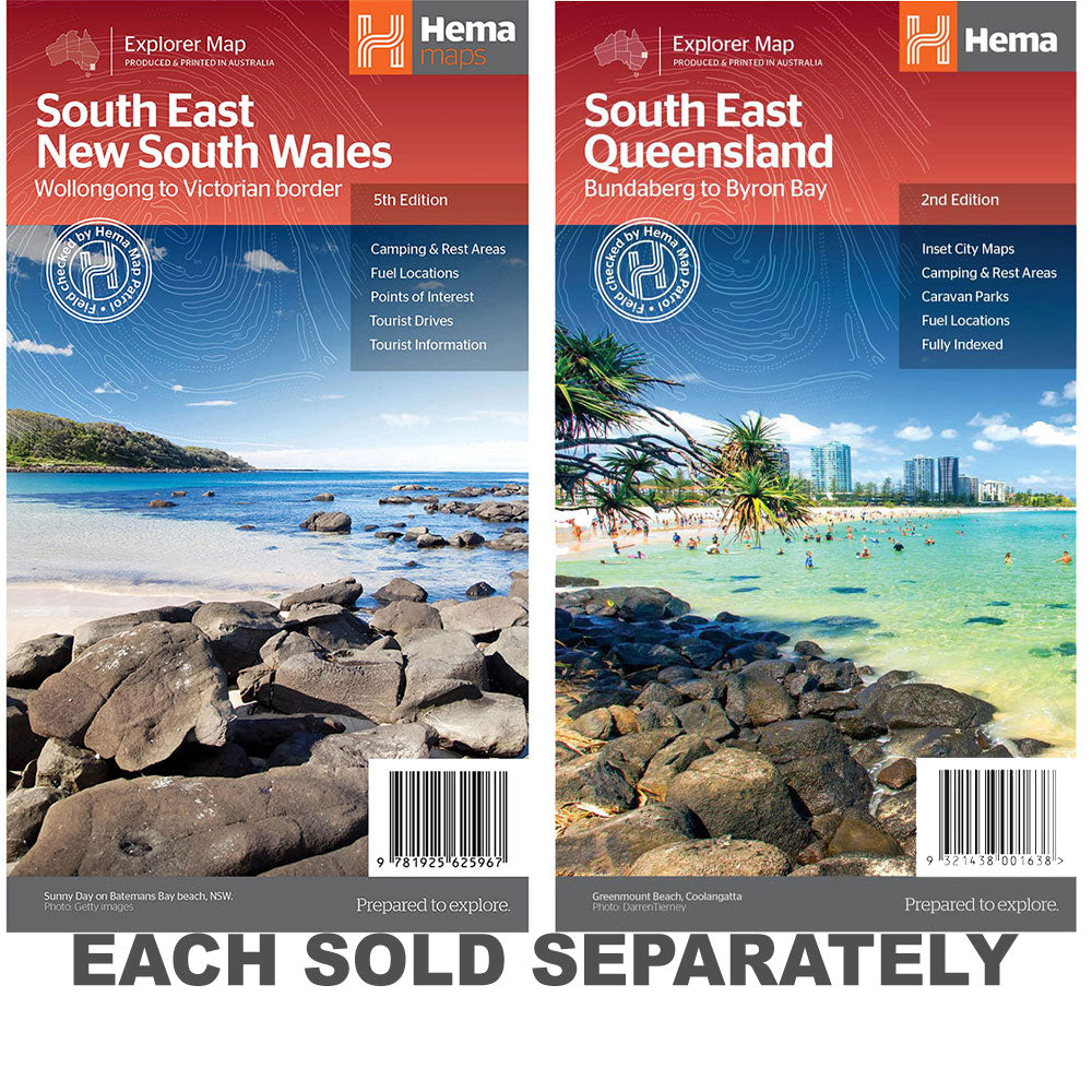
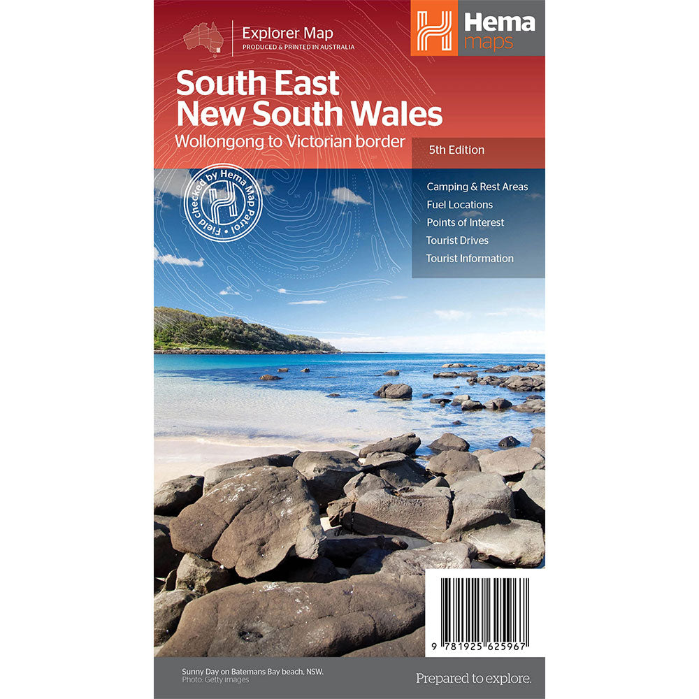
A regional map of South East New South Wales (1:385,000) that ranges from Wollongong down to the Victoria border and out to Gundagai and past Jindabyne in the West.
Covered regions in the map include; Illawarra, Jervis Bay & Shoalhaven, Batemans Bay, Canberra & surrounds, Merimbula & Sapphire Coast, Southern Highlands, Goulburn Region and the Snowy Mountains.
On the opposite side is extensive information on numerous regions, including visitor, historical and background information.
Comprehensive map of South East New South Wales, Camping & rest areas, Fuel locations, Tourist drives, Detailed National Park Listing with facilities, Tourist Information Centres
Product Specifications
- Comprehensive map of South East New South Wales
- Camping & rest areas
- Fuel locations
| Length : 25 cm | Width : 14 cm |
| Height : 0,3 cm |


Helppo paluu
Ilmainen 365 päivän takuu

Osta ja maksa valuutassasi
Toimitetaan nyt yli 40 maahan

100 000+ tuotetta
Upeat tuotemerkit. Kaikki lahjatapahtumat.
Aiheeseen liittyvät tuotteet
Top Selling Items


Trending Products