Payment & Security
Vaše platební údaje jsou zpracovávány bezpečně. Neukládáme údaje o kreditní kartě ani nemáme přístup k informacím o vaší kreditní kartě.
Popis
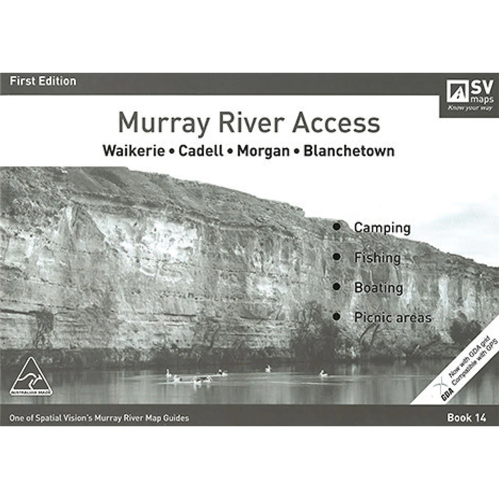
Spatial Vision's series of Murray River Access Maps are the best way to find camping, fishing and boating spots along the Murray River.
Also includes information on parks and forests, and major walking tracks.
SCALE: 1:25,000 COVERAGE: Waikerie, Cadell, Morgan, Blanchetown
Product Specifications
- Designed for visitors touring the area
- The guide has been produced with the support of Moira Shire, Park Victoria, Forests NSW and local businesses.
- The Murray River Guides are a great way to find the best camping and fishing spots
| Length : 29,7 cm | Width : 21 cm |
| Height : 0,5 cm |

Dopřejte si neuvěřitelné úspory!
Produkty na prodej - Nakupujte hned!

Objevte naši nejnovější sbírku!
Nové příjezdy - Nakupujte hned!

Snadné návraty
365denní záruka zdarma

Nakupujte a plaťte ve své měně
Nyní doručování do 40+ zemí

100 000+ produktů
Úžasné značky. Všechny dárkové příležitosti.
Související produkty
Top Selling Items
New
Bandai
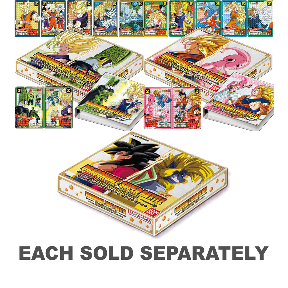
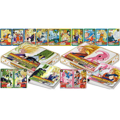
Dragon Ball Super Carddass Battle Premium Set
Prodejní cenaZ $223.95
Na skladě
FREE SHIPPING 🆓🚚
Trending Products


Stranger Things
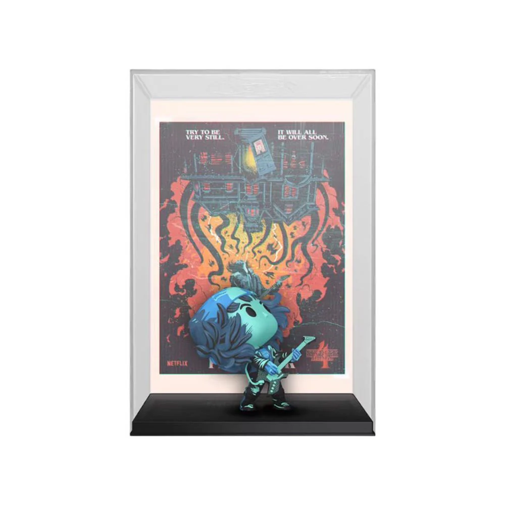
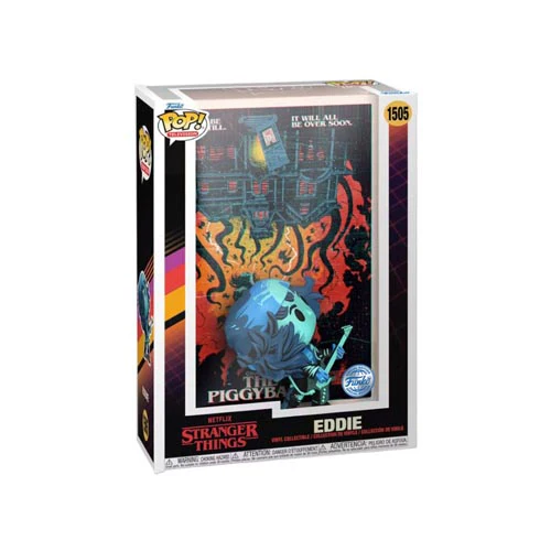
Stranger Things Hunter Eddie w/ Guitar US Ex. Metallic Pop!
Prodejní cena$32.95
Na skladě
Uložit 18%

Sharpie
Sharpie Permanent Markers Fine Portrait Colors 12pk
Prodejní cena$13.95
Pravidelná cena$16.95
Na skladě

