
Description
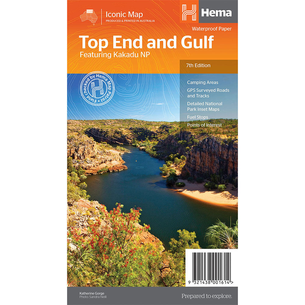
Top End and Gulf MapFeatureing Kakadu NP(7th Edition)This regional waterproof map of the Top End and Gulf is ideal for discovering the northern parts of Australia's NT by 4WD.
It includes a main map of the Darwin region, Judbarra / Gregory National Park, Nhulunbuy, Keep River National Park and Boodjamulla (Lawn Hill) National Park.
There is additional tourist information for Arnhem Land, the Roper River trek, Darwin region, Douglas-Daly district, Nature's Way, Victoria Highway, Katherine Region and the Stuart Highway Region.
GPS surveyed roads and tracks, Fuel stops, Self-drive 4WD tracks, Camping areas, Historic sites, Detailed National Park inset maps, Waterproof paper
Product Specifications
- GPS surveyed roads and tracks
- Fuel stops
- Self-drive 4WD tracks
| Length : 25 cm | Width : 14 cm |
| Height : 0.3 cm |

Treat yourself to incredible savings!
Products on Sale - Shop Now!
Free Global Shipping > $199
Excludes bulky goods or orders.

Easy Returns
Free 365 Day Warranty

Shop & Pay in your currency
Now shipping to 40+ countries

100,000+ Products
Amazing Brands. All Gift Occasions.