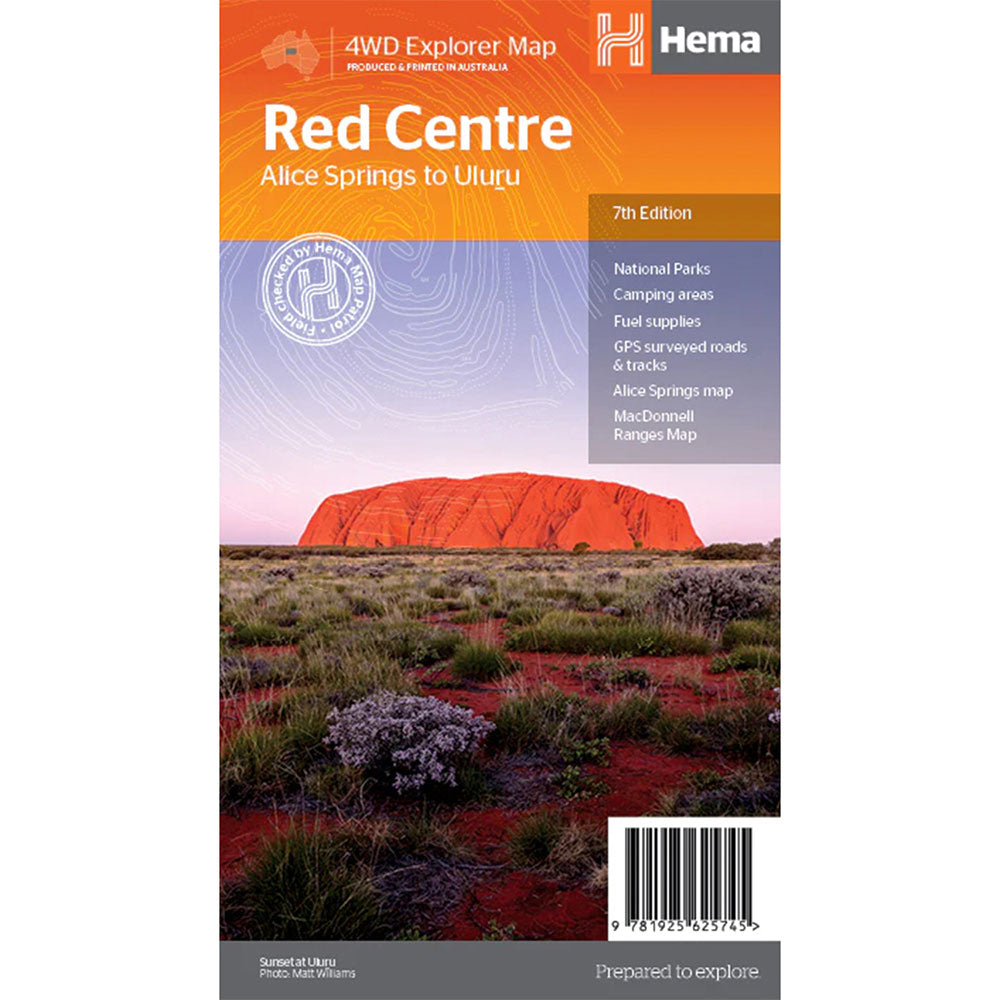

Description
This regional waterproof map of the Red Centre is ideal for discovering the quintessentially Australian landscape at the heart of the country.
The main map covers the area around Alice Springs, including Uluru, Kata Tjuta, West MacDonnell Range and Watarrka National Park.
It also features additional information relating to permits, useful contacts and historical context surrounding some of the area's most popular tourist destinations.
GPS surveyed roads and tracks, Fuel stops, 4WD tracks, Camping areas, Historic sites, Detailed inset maps
Product Specifications
- GPS surveyed roads and tracks
- Fuel stops
- 4WD tracks
| Length : 25 cm | Width : 14 cm |
| Height : 0.3 cm |

Treat yourself to incredible savings!
Products on Sale - Shop Now!
Free Global Shipping > $199
Excludes bulky goods or orders.

Easy Returns
Free 365 Day Warranty

Shop & Pay in your currency
Now shipping to 40+ countries

100,000+ Products
Amazing Brands. All Gift Occasions.