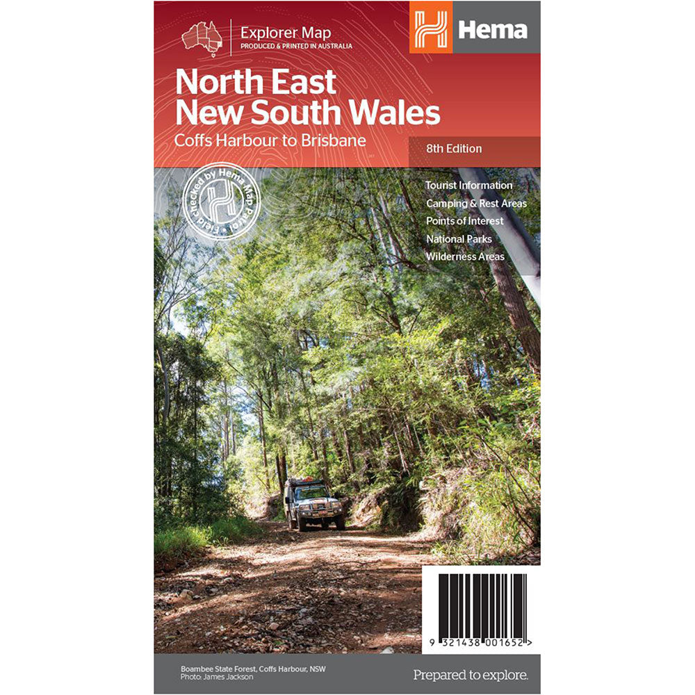

Description
A regional map of North East New South Wales (1:375,000) that is the perfect companion for touring through North East New South Wales (NSW).
The map features information on the major touring routes through the region including the Summerland Way, Bruxner Highway, Waterfall Way and Gwydir Highway, as well as major tourist attractions along both the Pacific Highway and the New England Highway.
Also included are listed national parks within the region, contact information and events.
Top scenic drives, Camping and rest areas, Fully indexed, Events and information, Points of interest, Waterproof paper
Product Specifications
- Top scenic drives
- Camping and rest areas
- Events and information
| Length : 25 cm | Width : 14 cm |
| Height : 0.3 cm |

Treat yourself to incredible savings!
Products on Sale - Shop Now!
Free Global Shipping > $199
Excludes bulky goods or orders.

Easy Returns
Free 365 Day Warranty

Shop & Pay in your currency
Now shipping to 40+ countries

100,000+ Products
Amazing Brands. All Gift Occasions.