
Description
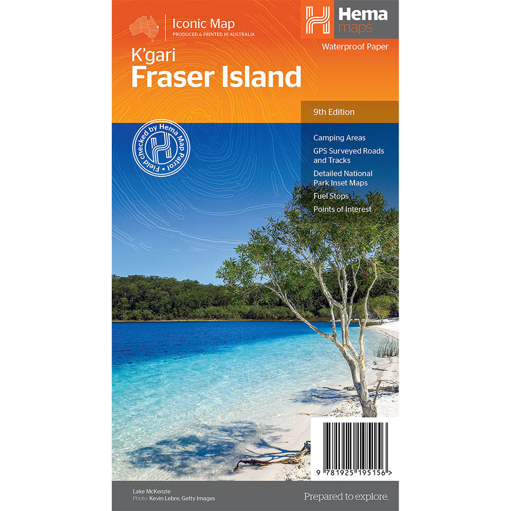
Fraser Island is one of the most diverse 4WD destinations in Australia, with beaches, rainforests, perched lakes, sand blows and more fitting into the world's largest sand island.
The mapping is highly detailed (1:130,000), with 4WD tracks field checked by the Hema Map Patrol, while hybrid satellite inset maps of Waddy Point, Orchid Beach, Cathedral Beach, Happy Valley, Kingfisher Bay, Eurong and Second Valley are also included.
On the reverse is a wealth of information for enjoying Fraser Island, including touring information on each distinct region, things to do, island access, permit information, accommodation, useful contacts and helpful insights for sand driving.
Detailed 4WD tracks, Camping areas, GPS surveyed roads & tracks, GPS positions and grid
Product Specifications
- Detailed 4WD tracks
- Camping areas
- GPS surveyed roads & tracks
| Length : 25 cm | Width : 14 cm |

Treat yourself to incredible savings!
Products on Sale - Shop Now!
Free Global Shipping > $199
Excludes bulky goods or orders.

Easy Returns
Free 365 Day Warranty

Shop & Pay in your currency
Now shipping to 40+ countries

100,000+ Products
Amazing Brands. All Gift Occasions.